
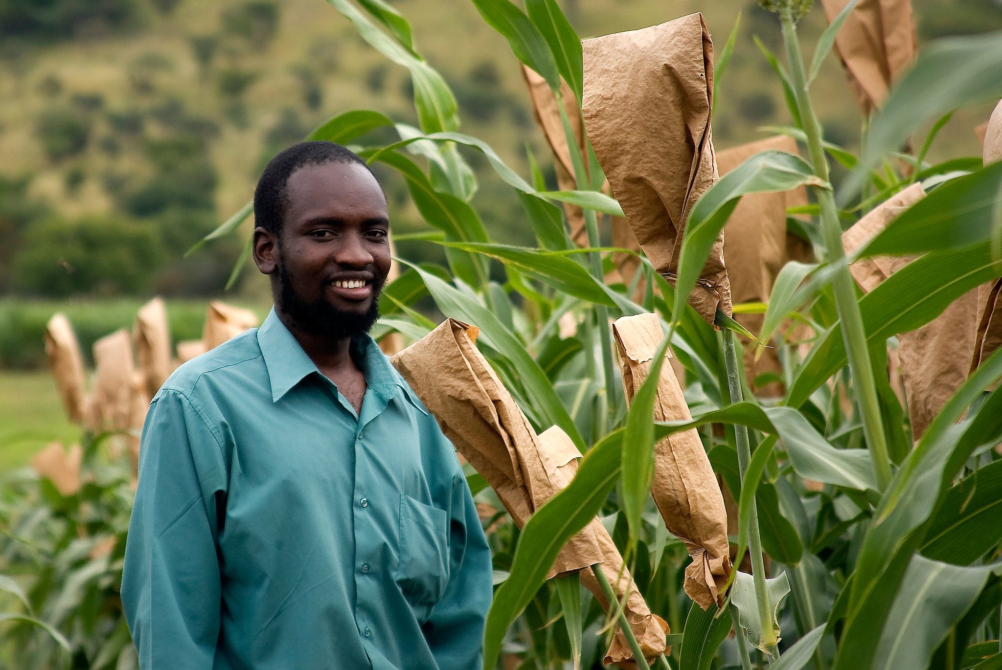
Zimbabwean farmers are turning to technology to tackle age-old challenges like poor soil health, unpredictable weather, and crop loss.
A locally developed mobile application, Sat2Farm, is now offering farmers across the country real-time data on everything from fertilizer dosage to irrigation schedules powered by satellite imagery and artificial intelligence.
Developed by Geo Vista, an agri-tech company based in Avondale West, Harare, the app is designed to improve crop productivity, reduce losses due to misused inputs, and simplify farm monitoring for both individual farmers and agricultural contractors.
Speaking to Harare Post recently, Ronald Murowe, the founder of Geo Vista, said the app gives farmers tailored recommendations on fertilizer application, helping them avoid both underuse and overuse.
“Our app helps farmers apply the right fertilizers, in the right dosage, at the right stage of crop growth. That alone can significantly reduce waste and boost yields,” he said.
The mobile app,available on both Google Play Store and Apple Store, allows users to geo-tag fields, register crops, and access insights on soil organic carbon (SOC), pH levels, soil moisture, and crop health. It also offers early pest and disease warnings, weather forecasts, and irrigation management tools.
The app is priced at just US$20 per hectare for six months, giving farmers access to powerful tools traditionally only available to large-scale commercial operators. Extension officers can also use the web platform to manage multiple growers remotely, cutting travel costs and providing timely support with data-backed recommendations.
Murowe said the system provides accurate, real-time information, enabling both farmers and agronomists to make informed decisions.
“The system gives farmers and agronomists accurate information—without even leaving the field. Everything from fertilizer planning to drought risk estimation is handled through satellite data and smart algorithms,” he said.
Sat2Farm uses data from ZimSat-1 to generate key reports such as farm risk assessments, crop loss estimations, and NDVI-based crop health monitoring. It also supports crop area mapping, growth stage tracking, and financial planning, offering vital insights to both farmers and financial institutions.
“We have brought the power of satellite farming right to the farmer’s phone and the agronomist’s laptop. This is precision agriculture, made simple and affordable,” Murowe added.
Geo Vista is located at 91 Aloe Way, corner Lomagundi Road, Avondale West, Harare.